

Google has launched a preview of its Geospatial API for Android XR, bringing Visual Positioning System (VPS) real-world location anchoring to spatial app development. The company released the preview alongside a working demo of a Gemini-powered walking tour guide built with the new tooling, detailed in a June 2026 Android Developers Blog post. The API is designed to let Android XR apps anchor digital content to real-world locations without relying solely on standard GPS signals.
Geospatial API Uses ARCore and Global VPS Data for Real-World Anchoring
Under the hood, the API uses ARCore’s on-device computer vision to cross-reference live camera feeds with Google’s global VPS dataset of georeferenced visual features. It returns a GeospatialPose value that includes latitude, longitude, and yaw orientation data for use in spatial apps. Android Developers Blog
The demo tour app built to showcase the API continuously monitors the horizontalAccuracy and orientationYawAccuracy values from the active ARCore session. It only proceeds with tour guidance when both metrics fall below developer-defined thresholds. If a user is indoors or in an area without VPS coverage, the app prompts them to move to an outdoor public space and look around to re-establish a location lock. This behavior ensures 3D waypoints align correctly with physical landmarks for spatial app use cases.
Gemini and Firebase AI Logic Generate Contextual Tour Content
To generate location-specific tour content, the demo app passes the user’s real-time GeospatialPose coordinates to a Gemini model via Firebase AI Logic. The model is prompted to act as a local historian, returning a structured JSON list of nearby walking tours, points of interest, and historical facts. Android Developers Blog
For voice output, the app uses the gemini-2.5-flash-tts model configured to return audio natively via ResponseModality.AUDIO. This eliminates the need for separate third-party text-to-speech tools.
Jetpack XR SDK Builds Mixed-Reality Tour Interfaces
The demo uses Jetpack Compose for XR to build spatial interfaces that float in the user’s field of view, rather than being confined to a 2D phone screen. Android Developers Blog
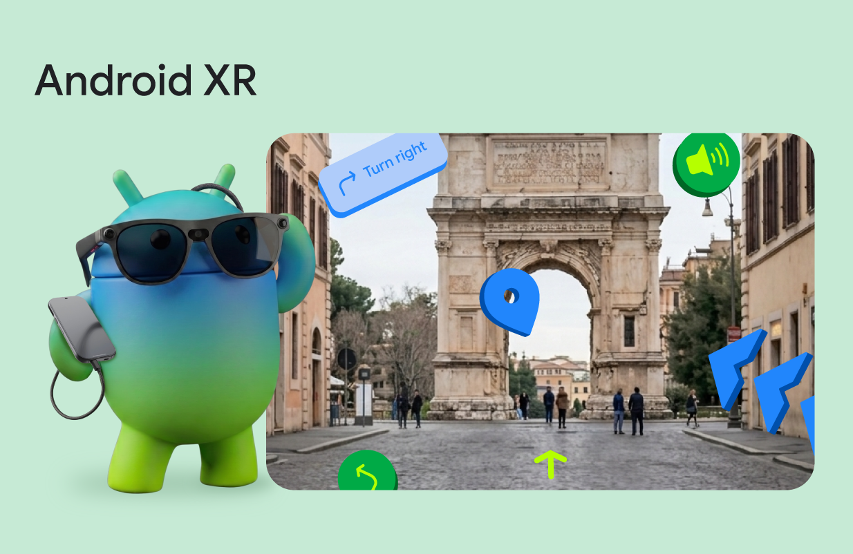
Points of interest along the tour are rendered as interactive 3D orbs built from GLTF models. These orbs are placed in physical space via SpatialBox and SceneCoreEntity components from the Jetpack XR SDK. The development team blended traditional Compose UI surfaces, including tour step indicators and navigation prompts, with 3D spatial elements using AnimatedSpatialVisibility. This creates a seamless mixed-reality experience anchored to the physical world.
Developer Program Access Opens for Android XR Builders
The Geospatial API preview is available now via ARCore for Jetpack XR. Android Developers Blog
Google has also launched the Android XR Developer Catalyst Program to give developers access to hardware dev kits for testing spatial experiences built with Android XR tooling. The program is open to qualified developers building general Android XR applications, with no location-aware requirement specified for participation. Android Developers Blog
The launch eliminates the need for developers to build custom visual positioning pipelines from scratch for Android XR apps. The API handles on-device camera processing and VPS dataset matching automatically, reducing engineering overhead for location-anchored experience builds.
For developers, the combination of VPS anchoring, on-device Gemini integration, and Compose for XR removes the requirement to build custom positioning logic or integrate third-party text-to-speech tools for location-anchored XR apps. This lowers the barrier to entry for small teams and independent creators building spatial experiences.
Bottom line: Android developers building location-anchored XR experiences can access the Geospatial API preview via ARCore for Jetpack XR as of the June 2026 launch, and can apply for the Android XR Developer Catalyst Program to access hardware dev kits for testing spatial builds.
Editorial note: Citation cleanup: we trimmed duplicate citation links that repeated the same source after multiple paragraphs. Every fact and quote is unchanged; the source remains cited where each claim appears.